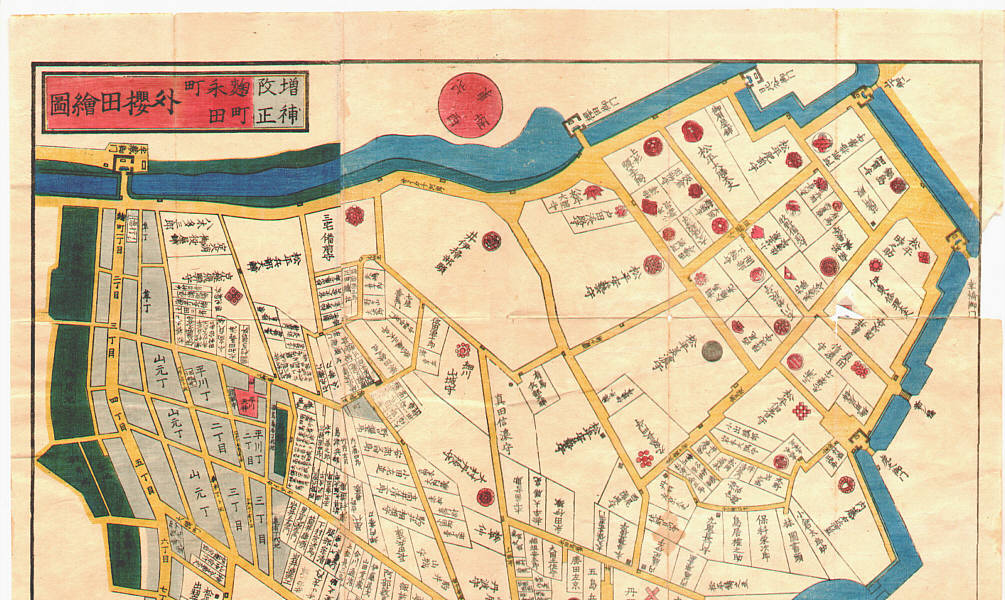
Title : Map of Edo, Soto Sakurada Area - Kirie Zu
Artist : Unknown
Date : 1860.
Details : Unknown: Map of Edo, Soto Sakurada Area - Kirie Zu - Artelino
Source :
artelino - Japanese Prints
Browse all 24745 prints...
Description : "Kiri-e Zu" This map shows Koji-machi, Kasumi-ga-seki, San-o Shrine, Akasaka area which was called, "Soto Sakurada". Soto Sakurada was the main housing area of various feudal lords who had to keep large palaces in Edo, next to Edo Castle. The "Sakurada Mon" Gate on upper right was the place where the assassination of Ii Naosuke (the lord of Hikone and Tairo (Great Councillor) of the Tokugawa Shogunate) took place in a snowy morning in March, 1860. Ii Naosuke was the man responsible for opening Japan to the West for which he was assassinated... This is one of so-called, "Owariya Ban Kiri-e Zu". They consist of 31 folded maps of different parts of Edo, published one by one during 1850-1865 by Owariya. Red color indicates temple, shrine and Buddhist related areas. Grays are housing areas. Green is farms and forests. Several large palaces of feudal lords are indicated with their family crests.
Download ImageDo you have a similar woodblock print to sell?
Get in touch with us for a preliminary estimate and for information in selling your woodblock print.
GET IN TOUCH